
Thursday, June 4, 2026
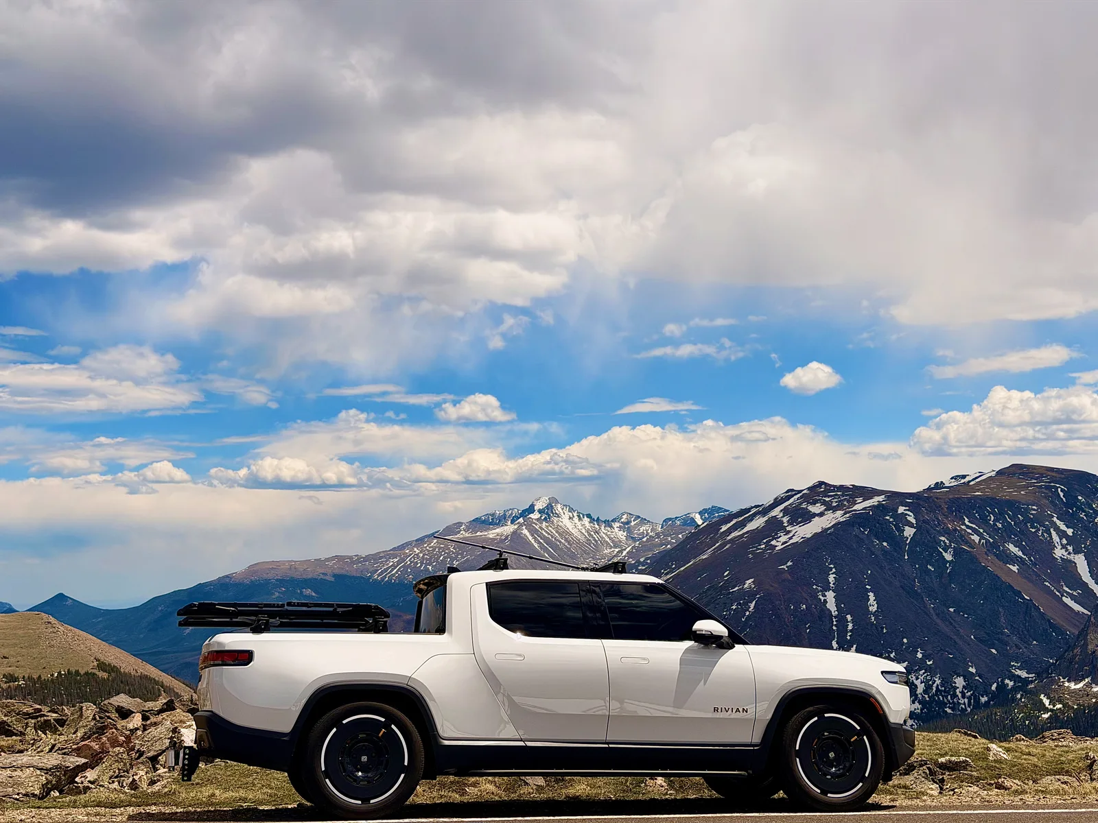
Rocky Mountain National Park from the Lyons basecamp
Leave the Airstream in Lyons and run the Rivian up into Rocky Mountain National Park. We landed both timed entries this time, the Bear Lake Road corridor and Trail Ridge Road. Hike the Bear Lake loop in the morning, then climb Trail Ridge to the Alpine Visitor Center at 11,796 ft and turn around, an out-and-back through the high tundra before dropping back to the river camp at night.
- 113.9 miles
- ~5 (truck only, no towing) drive hours
- Estes Park charging first charge
- LaVern M. Johnson Park (Lyons, CO) tonight
Weather: Alpine June, cool and thin at 12,000 ft on Trail Ridge, afternoon mountain thunder possible, snowbanks still on the tundra.
The day, by the numbers
- Miles driven113.9mi
- Towing efficiency2.78mi / kWh113.9 mi · 41 kWh
- Energy41kWh used · 50 kWh charged across 1 session
- Peak charge rate8kW
- Wind9mph WMostly tailwind
- Temperature80°F64 – 80°F range
- Peak elevation12,209ft↑ 7,000 ft↓ 7,000 ft
- Avg speed24mph · 4.7 hr moving
Map loads with JavaScript. Each day page also lists every stop in text below.
Day 22 in pictures
Every photo from this trip → Browse all our photo galleries →
The day
-
LaVern / Lyons, morning depart
Leave the Airstream set up at camp and take the Rivian light up the St. Vrain canyon toward Estes Park and the park entrance.
Map 40.2206, -105.2742
-
RMNP, Beaver Meadows Entrance, 11 AM timed entry
Our timed-entry window is 11 AM, and we made it. We landed both permits this time: the standard Park Access reservation (Trail Ridge Road and the high country) and a separate Bear Lake Road timed entry, so the day covers the Bear Lake corridor AND the alpine loop. Show the reservation plus the park pass at the gate.
Map Official site 40.3556, -105.5856
-
Bear Lake hike
The iconic stop at the end of Bear Lake Road, 9,450 ft, with Hallett Peak and the Continental Divide standing over the water. We laced up here and hiked, the flat loop around the lake and up the start of the Nymph, Dream, and Emerald lakes trail, daypacks on with the spruce still dripping from the overnight snow. The separate Bear Lake Road timed-entry permit is what gets the rig in.
Map 40.3128, -105.6456
-
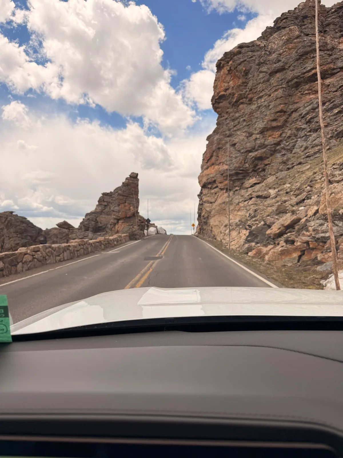
Many Parks Curve overlook
First big Trail Ridge Road overlook at ~9,600 ft, the view back over Estes Park, Moraine Park, and the glacial "parks" the road is named for.
Map 40.3925, -105.6353
-
Forest Canyon Overlook, Trail Ridge
11,716 ft, above the treeline and into the tundra. Marmots and pika in the rocks, snowbanks into June, and the Gorge Lakes dropping away into Forest Canyon below.
Map 40.3722, -105.6892
-
Alpine Visitor Center
11,796 ft, the highest visitor center in the National Park System and our turnaround for the day. Thin air, the short steep Alpine Ridge Trail (Huffer's Hill) to 12,005 ft if the legs are willing, and the cafe for a snack, then back down Trail Ridge the way we came, out the Beaver Meadows gate and home through Estes on US-36.
Map 40.4439, -105.7531
-
LaVern M. Johnson Park, Lyons
Tailwind on this leg 9 mph from the W Descends this leg −6,400 ft
Back down the canyon to the Airstream for a second river night in Lyons.
Map 40.2206, -105.2742
Where the electrons come from
-
L2 / DC fast
Estes Park charging
Buffer top-up in the gateway town. The Rivian leaves LaVern on a full charge (electric hookup overnight), so the ~110 mi park day untethered is comfortable without it, this is insurance for the Trail Ridge climb.
-
Campground 50A L2 (free)
LaVern M. Johnson Park (Lyons, CO)
Free overnight shore-power charge on the campground 50A hookup at the river camp. The whole park loop ran untethered on the pack, no road charging all day; topped back up to full overnight at no cost, so the rig leaves full in the morning.
Detailed charging data
4 receipts, app screens, pedestal displays, and Rivian dashboard readouts. Click through with the arrows; tap the tile to view full size.