The Airstream rides into Bryce for the rim, then the tunnel-free way to Zion: UT-14 over the 9,902 ft Markagunt crest and 6,100 ft of descent to La Verkin, the best towing leg of the whole trip at 1.88 mi/kWh.
149.3miles
~3.5 towing + Bryce localdrive hours
Ruby's Inn campground hookups (overnight)first charge
Weather: Cool dawn at 8,000 ft on the rim, hot by afternoon in Zion canyon (Springdale sits at 3,900 ft). Sunrise is the show; carry water on the loops.
The day's numbers, route, photos, and video below↓
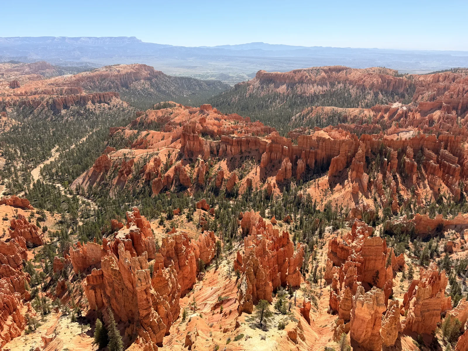
Day 29Inspiration Point at 8,300 ft, the whole city of hoodoos at once.
The day, by the numbers
Miles driven149.3mi
Cost per mile31.8¢ / mi charging
Towing efficiency1.48mi / kWh149.3 mi · 101 kWh
Energy101kWh
used · 53 kWh charged across 2 sessions
Wind10mph NNWMostly crosswind
Temperature93°F50 – 93°F range
Peak elevation9,902ft↑ 4,550 ft↓ 8,240 ft
Avg speed44mph · 3.8 hr moving
Map loads with JavaScript. Each day page also lists every stop in text below.
Photographs
Day 29 in pictures
1 / 21Hitched by nine, the trailer coming into the park with us.
Ruby's Inn, early hitch + Supercharger top-up if needed
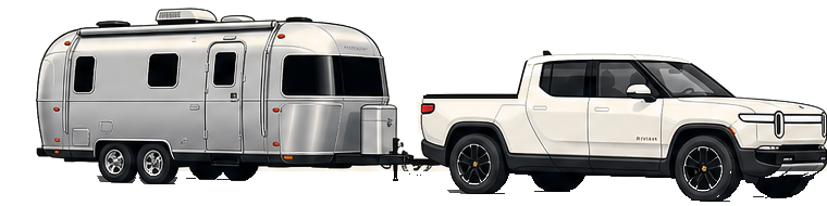
Bright and early: hitch up off the overnight hookups and, if the pack wants more, the 8-stall Supercharger sits next door. The Airstream rides INTO Bryce with us for the morning, then the tunnel-free route to Zion over UT-14 (the Mt. Carmel tunnel is out for our 8-foot-4 trailer). Oversize vehicles park at the viewpoint RV stalls; sunrise crowds make the early start the whole game.
The overnight 50A only reached about 60%, so after the park loop the rig topped off at the Supercharger next door: 52.831 kWh for $21.66 at 11:54 AM-12:54 PM, the budget for the 155-mile reroute to Zion.
UT-14 over the Markagunt, Navajo Lake overlook (9,380 ft)
↑Crosswind on this leg10 mph from the NNW▲Climbs this leg+1,750 ft
The tunnel-free way to Zion, and what a way: US-89 to Long Valley Junction, then UT-14 over the Markagunt Plateau, the dash logging a 9,902 ft day-peak at the crest. Pulled out at the Navajo Lake overlook at 9,380 ft, then the long descent through Cedar City and down I-15/UT-17 to La Verkin. The Mt. Carmel tunnel (7 ft 10 in limit) does not fit our 8-foot-4 Airstream; discovering that at the tunnel mouth on a thin pack with nowhere to turn a 47-foot rig around would have been a very different day. Check your dimensions against every tunnel BEFORE routing.
↑Crosswind on this leg10 mph from the NNW▼Descends this leg−5,650 ft
The stall at the bottom of the 6,100 ft descent, 3,757 ft and 93 F. Trip B told the story on arrival: 110.1 mi at 1.88 mi/kWh towing, the best long leg of the trip. Charging for the last 22 miles up UT-9 to the park.
Set up camp, then rode the canyon shuttle up to the Zion Lodge for the evening, the walls going purple over the lawn, and had dinner at the Coffee Kettle by the entrance. The shuttle does the driving inside this park, which suits the rig fine.
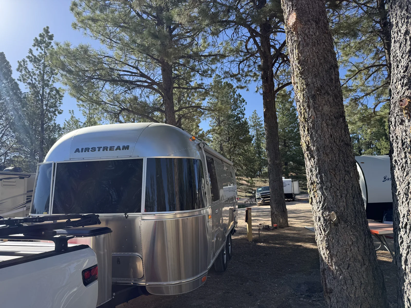
The night INSIDE Zion at the South Campground, a short walk from the visitor center and the canyon shuttle. No hookups, dry camping under the cliffs to celebrate the tail end of the trip.
Day 29Hitched by nine, the trailer coming into the park with us.
Towing segments this day
The charge-to-charge data, leg by leg.
Every towing leg logged today off the Rivian dashboard, with its elevation
profile. Open one for the full per-segment data: efficiency, energy, grade,
wind, temperature, and battery state of charge.
Charged overnight on the site power from the 1% arrival. The reroute around the tunnel stretched the tow to ~155 miles, which made the charge budget the day's whole story.
Tesla Supercharger
Bryce Canyon City Supercharger (top-up if needed)
The 8-stall Supercharger sits right by Ruby's; a quick top-up before the tow if the overnight charge fell short of comfortable for the run to Springdale.
Social signal
Follow Day 29 beyond the page
Photos, short video, charge-stop notes, and the little roadside details usually land on social first. The full route stays archived here.
8 receipts, app screens, pedestal displays, and Rivian dashboard readouts. Click through with the arrows; tap the tile to view full size.
Trip A 5,555.4 measured at the stall, the derived chain from Torrey confirmed exactly.Trip B 117.3 un-reset since the Torrey hitch, 106.0 of tow plus 11.3 towing through Bryce on 9 kWh, 1.26 mi/kWh in the park.The trip-to-date energy card, about 4,290 kWh since San Diego.The record card, 110.1 mi at 1.88 mi/kWh towing over a 9,902 ft crest. Winner winner.The same leg by time, 2h20m at 47 mph over the mountain and down.Trip A 5,665.5 measured, exactly 110.1 past the Bryce stall, the chain holding to the decimal.The day's books closed by the next morning's read, Trip A 5,693.4, exactly 27.9 past La Verkin with zero miles driven that morning.The final leg counter, 27.8 mi at 0.84, the hot UT-9 climb plus a no-hookup night feeding the trailer folded into one number.